Sewer Overflow Interactive Map
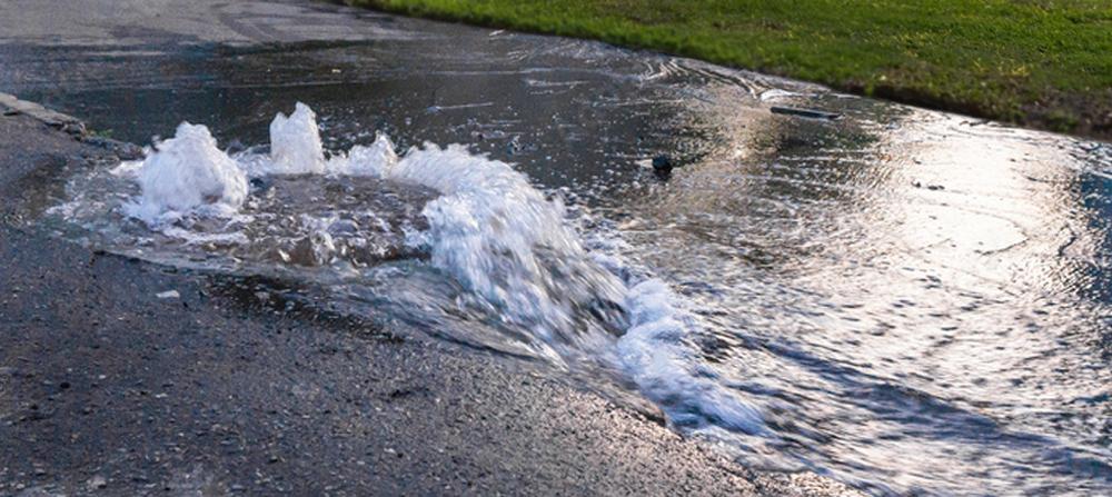
The Sewer Overflow Map provides information on the location and details of reported Sanitary Sewer Overflows (SSOs) and impacted waterways in the past four months. This interactive map allows users to easily report SSOs and enables Baltimore City DPW to track the status and progress of each report, and is part of the on-going efforts to reduce and minimize SSOs as part of the Phase II Sanitary Sewer Modified Consent Decree.
The map shows new, preliminary, and ongoing reports of SSOs between 1 to 10,000+ gallons, reported treatment plant spills, and posted pollution signs. Review the SSO Map – User Guide for more information on the map legend and the reporting process.
Subscribe: Receive notifications when sewer overflows enter surface waters.